🇹🇭 Krabi, Thailand · Khao Phanom Bencha National Park
Khao Phanom Bencha
ยอดเขาพนมเบญจา
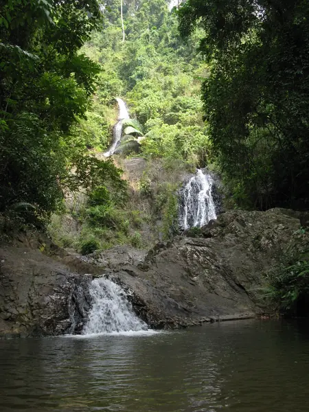
Photo: Caitriana Nicholson · CC BY-SA 2.0
Difficulty: Hard
About this place
Krabi's highest peak and the second-highest in southern Thailand, the source of the Krabi Yai canal that supplies the town. The trail is carpeted with leaves through ancient forest rich in orchids, and the park also has a giant Tetrameles tree listed as a heritage tree.
Highlights
- Krabi's highest peak, 1,397 m
- Open to 1–2 groups a month, very few people
- Giant Tetrameles tree in the park
Day by day
- Day 1: 7 km · about 6–8 hrs on foot — Riverside campground
- Day 2: 4 km · about 3–5 hrs on foot — Up to the summit, then down to Ban Ton Han
Starts at Ban Ton Han, Khao Phanom district. From camp it's about 800 m more up to the sunrise viewpoint.
Before you go
The park only allows 1–2 groups a month. A ranger pickup truck takes you from the park headquarters to the trailhead at Ban Ton Han; about 10 km return.
Do you need a guide? A local guide or porter is required
Contact the park
Khao Phanom Bencha National Park Headquarters
Sources
Nearby places
- Khao Ngon Nak (Dragon Crest)Krabi, Thailand · 26 km away
- Sa Morakot (Emerald Pool)Krabi, Thailand · 53 km away
- Khao Sok & Cheow LanSurat Thani, Thailand · 82 km away
- Khao MenNakhon Si Thammarat, Thailand · 82 km away