🇯🇵 Japan
Kamikochi Valley
คามิโคจิ
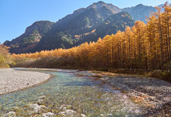
Photo: lumoplank · CC0
Difficulty: EasyDay trip
About this place
A valley along the Azusa River in the Northern Alps. A flat path follows the clear river past Kappa Bridge, Taisho Pond and birch forest, with views of the Hotaka peaks over 3,000 m. It's the easiest way to see the Japanese Alps up close, and the starting point for climbing Yarigatake.
Highlights
- Kappa Bridge with views of the Hotaka peaks
- Taisho Pond in the morning
- Flat walking for all ages
Kamikochi.org gives Kappabashi–Myojin 3.0 km, 60 min and Myojin–Tokusawa 3.0 km, 60 min (one way). Kappabashi to Tokusawa and back takes 4–5 hrs.
Before you go
Private cars have been banned beyond the Kama Tunnel since 1994; park at Hirayu or Sawando and take a bus or taxi in (about 30 minutes). The park is open mid Apr – mid Nov and closed in winter; late-season snow can linger until about Jun. There are bear bells along the trails, so carry a bell and check the bear advice. Bus fares from the car parks on the readable private websites vary widely, so no figure is given.
Sources
Nearby places
- Karasawa Cirque & Mt OkuhotakaJapan · 5 km away
- Mount Yakedake (Yake-dake), Northern AlpsJapan · 5 km away
- Mount Yari (Yarigatake)Japan · 10 km away
- Northern Alps: Omote Ginza Traverse to YarigatakeJapan · 10 km away