🇹🇭 Nan, Thailand · Luang Prabang Range, Thai–Lao border
Phu Khe
ภูเข้
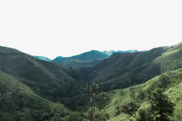
Photo: HUPKAO · All rights reserved. Do not use without permission.
Difficulty: Hard
About this place
Nan's highest peak, at about 2,079 m, on the Luang Prabang Range along the Thai–Lao border, with boundary marker 3-37 on the summit. The trail crosses hill-rice fields on several ridges before entering pristine evergreen forest. Few people go, as the route hasn't taken off yet.
Highlights
- Nan's highest peak, 2,079 m
- Thai–Lao boundary marker on the summit
- Pristine forest with very few people
Day by day
- Day 1: about 4–5 hrs on foot — Pang Wua camp
- Day 2: No distance info — Up to the Phu Khe summit (2,079 m), then camp on the ridge
- Day 3: No distance info — Down to the pickup point
Starts at Ban Salai Noi. No source giving the distance in kilometres was found (thetrippacker's 2-day review: about 3 hrs on day 1 to the camp at 1,350 m).
Before you go
You must go with a local guide and porters; the trail has many junctions and it's very easy to get lost in the forest. A four-wheel-drive takes you from the village to the trailhead. The halfway camp is at about 1,350 m near a stream, with no toilets and plenty of leeches. Porters cost about 400 THB per person per day according to reviews.
Do you need a guide? A local guide or porter is required
Sources
Nearby places
- Phu WaeNan, Thailand · 17 km away
- Chomphu Phu Kha Flower Trail, Doi Phu KhaNan, Thailand · 23 km away
- Den Chang NonNan, Thailand · 25 km away
- Doi Suan Ya LuangNan, Phayao, Thailand · 63 km away