🇯🇵 Japan
Mount Takao
ภูเขาทาคาโอะ
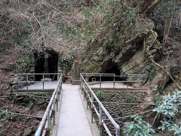
Photo: Syced · CC0
Difficulty: EasyDay trip
About this place
The closest mountain to Tokyo, with several trails past Yakuoin Temple and cedar forest. On clear days you can see Mount Fuji from the top — a good choice if you only have half a day.
Highlights
- Yakuoin Temple on the mountain
- Mount Fuji from the summit on clear days
- Half-day return trip from Tokyo
Trail 1 (Omotesando) is 3.8 km: ~100 min up, ~80 min down; about 7.6 km if you walk both ways. Using the cable car cuts the time in half.
Before you go
You can go on your own; no permit requirement found in readable sources. Reach it by suburban train from Tokyo (within about 1 hour of the city centre), to Takao (JR Chuo) or Takaosanguchi (Keio) station. There are 8 trails; trail 1 is paved and passes the cable car station. The climb to the top takes about 90 minutes on average, or use the cable car/chairlift to help. More than 2.5 million visitors a year; very crowded in the autumn colour season.
Sources
Nearby places
- Mount Fuji, Yoshida TrailJapan · 55 km away
- Nakasendo: Magome to TsumagoJapan · 151 km away
- Northern Alps: Panorama Ginza RouteJapan · 159 km away
- Kamikochi ValleyJapan · 160 km away