🇯🇵 Japan
Kumano Kodo, Nakahechi
คุมาโนะโคโดะ
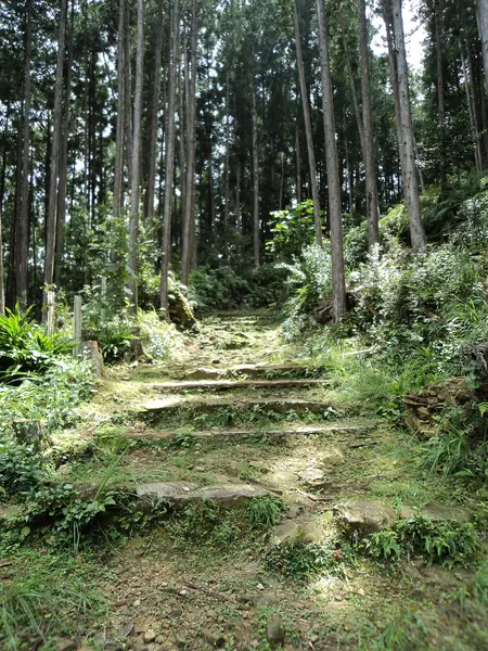
Photo: VKaeru · CC BY-SA 3.0
Difficulty: Hard
About this place
A pilgrimage route more than a thousand years old on the Kii Peninsula, walking through cedar forests past shrines large and small, sleeping in ryokan and soaking in onsen every night. A World Heritage–listed pilgrimage route.
Highlights
- Kumano Hongu Taisha shrine
- Nachi Falls, the tallest in Japan
- Yunomine Onsen
- Seiganto-ji temple and its three-storey pagoda beside Nachi Falls
- Cedar forest on Ogumotori-goe, the most challenging section of the Nakahechi
Day by day
- Day 1: 3.7 km · about 2 hrs on foot — Takahara (starting at Takijiri-oji)
- Day 2: 9.1 km · about 4 hrs on foot — Chikatsuyu
- Day 3: 23.1 km — Kumano Hongu Taisha (usually split over 2 days)
- Day 4: 17 km · about 5.5–7 hrs on foot — Koguchi
- Day 5: 14.5 km · about 7–9 hrs on foot — Kumano Nachi Taisha
Sources split it into 6 days (Chikatsuyu – Hongu takes 2 days); many people walk it in 4 days by combining the first day.
Before you go
No permit needed. Luggage transfer between accommodation is available. The hardest section is Ogumotori-goe (Koguchi – Nachi), climbing about 800 m in the first 5 km. The distance is about 14 km according to the Tanabe tourism office, while the Moo n' Move tour programme says 16.5 km (the figures don't agree). Start early and check the last bus. A reference budget with a tour is about 35,000–40,000 THB, excluding flights and travel insurance. The difficulty rating is based on walking the whole route over several days; some tour programmes let you take the bus for some sections.
Sources
Nearby places
- Nakasendo: Magome to TsumagoJapan · 252 km away
- Mount Yakedake (Yake-dake), Northern AlpsJapan · 313 km away
- Kamikochi ValleyJapan · 317 km away
- Mount Fuji, Yoshida TrailJapan · 319 km away